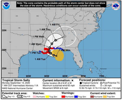
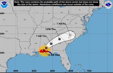
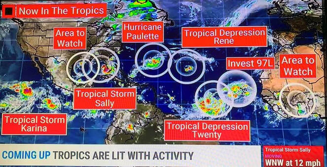
 On the forecast track, the center of Sally will move over the north-central Gulf of Mexico today, approach southeastern Louisiana this afternoon, and make landfall in the hurricane warning area on Tuesday. Afterward, Sally is expected to move slowly north northeastward near the northern Gulf Coast through Wednesday. Maximum sustained winds have increased to near 65 mph (100 km/h) with higher gusts. Strengthening is expected over the next day or so, and Sally is forecast to become a hurricane by tonight, with additional strengthening possible before the center crosses the northern Gulf Coast. A big threat is inland flooding as Sally is moving at a forward speed of only 8 MPH and is expected to slow or stall at landfall dropping 15” t0 20” of rain in some areas. Our teams have been deployed and are undergoing JIT Training for MS Plans at this time. Commercial adjusters are also on stand-by for deployment at landfall. TD-19 has now become TS Sally, the 18th named storm of 2020. By the image below, it is clear we are in the height of the season. TS Sally is into the Gulf and as forecasted, has now intensified to a tropical storm. Sally brought heavy rains and 40 MPH wind gusts to South Florida overnight and this heavy rain and 30 mph winds will continue on the West cost of FL as Sally moves NNW throughout the day today. Sally is expected to intensify to a strong CAT 1 by landfall in LA, a few models have it at CAT 2.
|
Archives
April 2024
Categories |
Adjusters |
Company |
|


